18 Mind-Blowing Satellite Photos Of Earth That Will Remind You How Small You Really Are
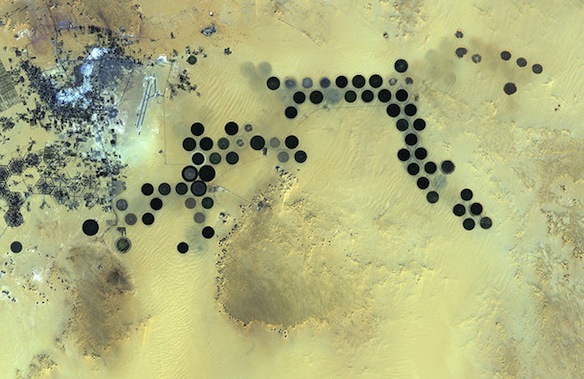
1. The Al Jawf Oasis in southern Libya, deep in the Sahara Desert
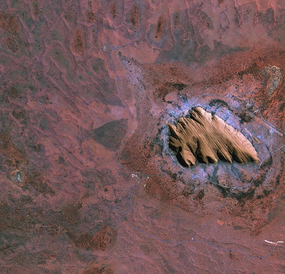
2. Uluru/Ayers Rock in the Australian outback
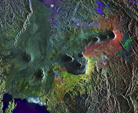
3. A chain of volcanoes called the Virunga mountains that stretch across Rwanda’s northern border with Uganda and east into the Democratic Republic of the Congo
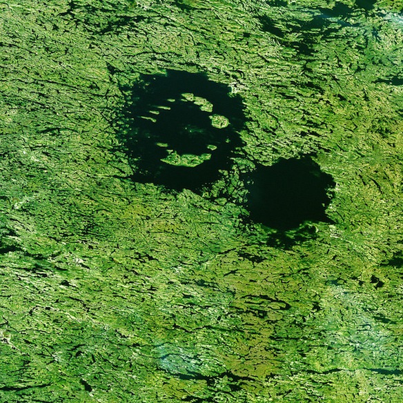
4. The Clearwater Lakes in Canada’s Quebec province
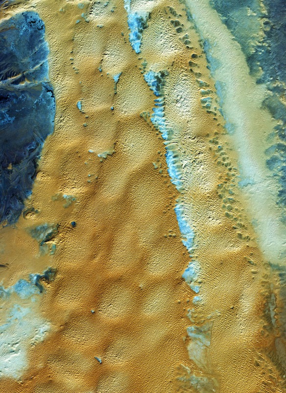
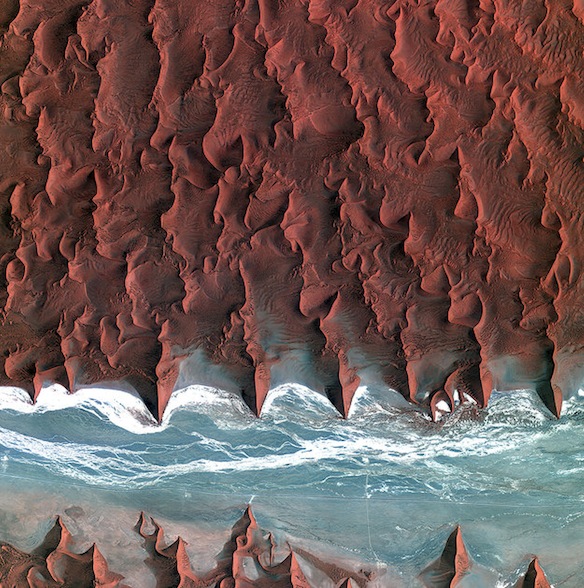
5. The sand seas of the Namib Desert in southern Africa
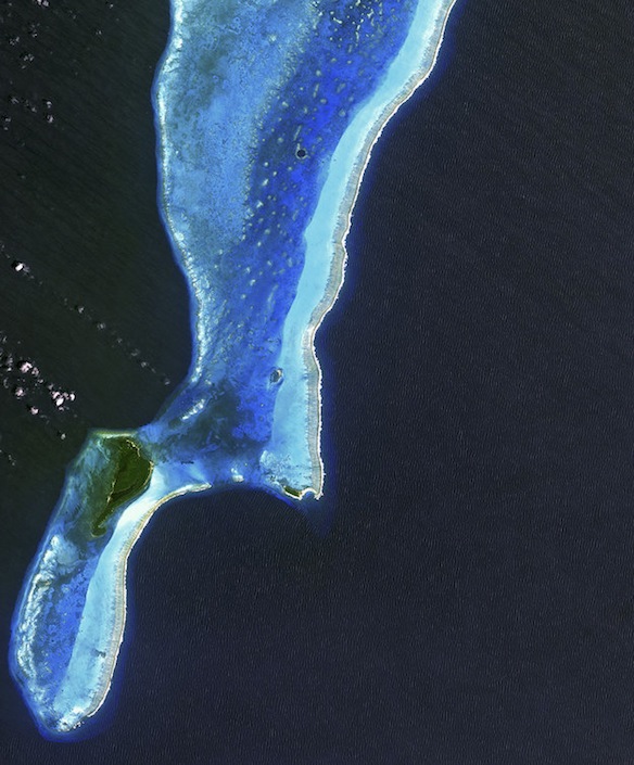
6. The Lighthouse Atoll in the Belize Barrier Reef
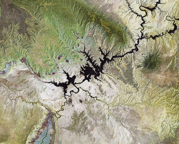
7. Lake Powell, a reservoir on the Colorado River
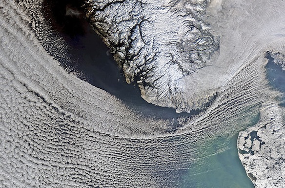
8. Clouds covering the North Sea and sweeping down to the strait between Denmark and Norway
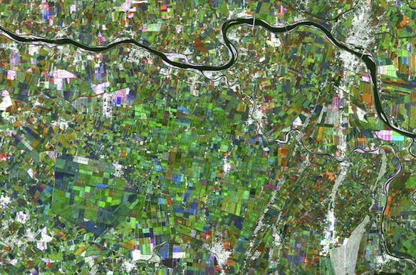
9. The Po River, which flows over 650 km from west to east across northern Italy as the country’s longest river
10. The Tibesti Mountains, located mostly in Chad with the northern slopes extending into Libya
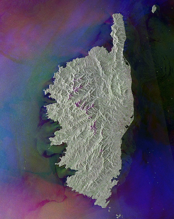
11. The French island of Corsica, one of the largest islands in the Mediterranean Sea
12. The man-made Raystown Lake in Pennsylvania
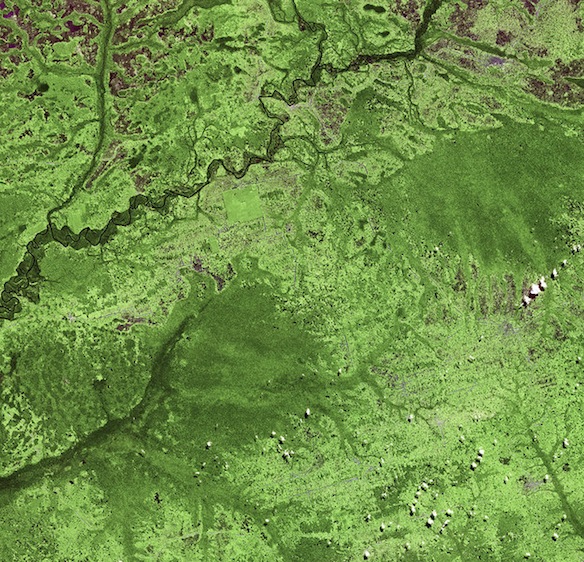
13. An area in the northwest of the Democratic Republic of Congo
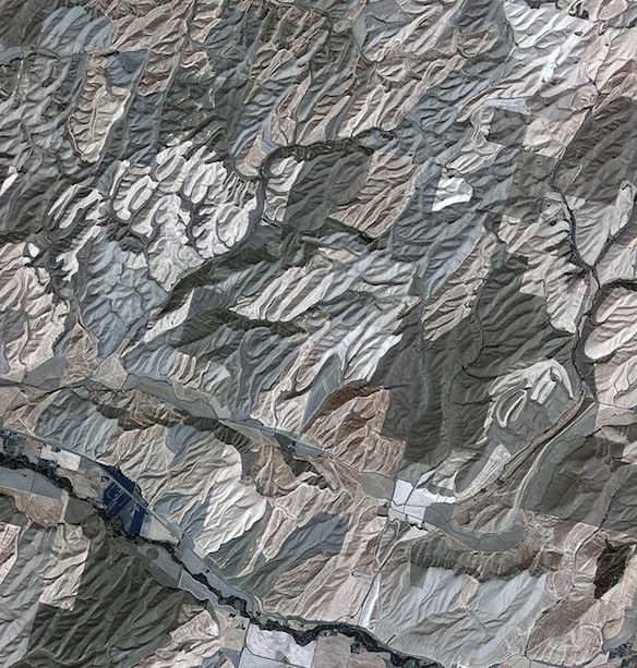
14. Rolling hills of farmland in the northwest United States
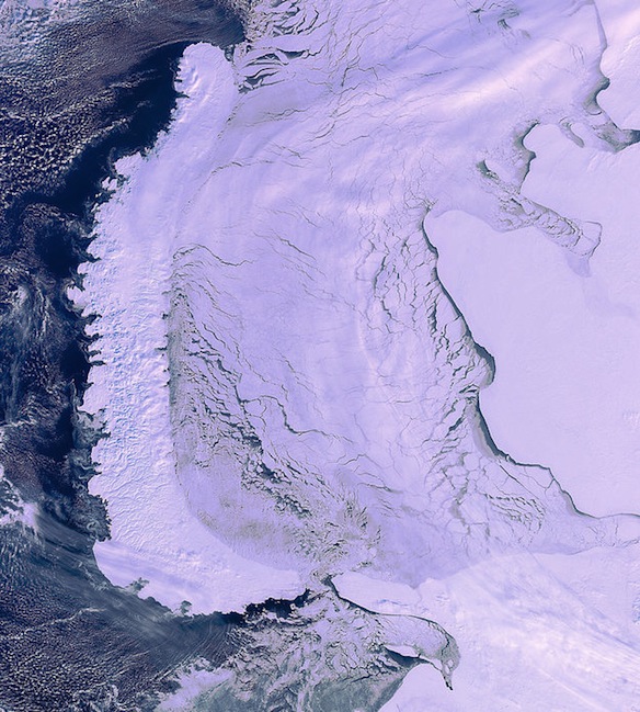
15. The elongated islands of the Novaya Zemlya archipelago on the left, the mainland of northwestern Russia to the right and an ice-covered Kara Sea at center
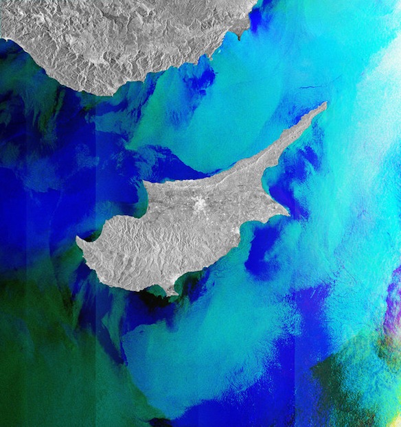
16. The island of Cyprus
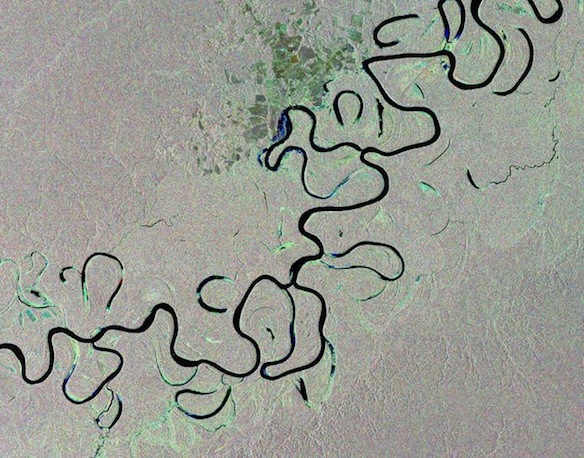
17. The Juruá River in western Brazil
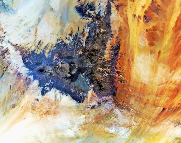
18. The sandy and rocky terrain of the Sahara desert in western Algeria